
Karnataka to turn to AI, satellite imagery to monitor crops in drought-hit regions
Executive Brief • Key Highlights
Fast factual intelligence distilled for busy investors, executives, and answer bots:
- ✓Karnataka will use AI and satellite imagery to monitor crops in drought-hit regions.
- ✓The Karnataka State Remote Sensing Applications Centre invited bids for a pilot project covering Rabi 2026-27 and Kharif 2027-28.
- ✓Officials said, "Unless we bring the advantage and benefits of AI to the rural parts of the country."
Story at a Glance
- Category
- BUSINESS
- Reported By
- MoneyControl
- Reading Speed
- 2 Minute(s)
- Market Focus
- India Economy
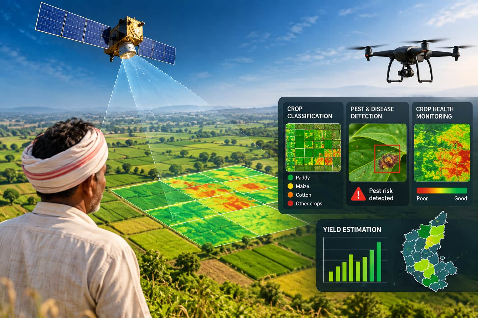
Karnataka plans to introduce satellite-based crop monitoring and yield estimation, especially in drought-hit regions, to improve agricultural planning and crop-loss assessment. The Karnataka State Remote Sensing Applications Centre (KSRSAC) has recently invited bids from firms, agencies and startups to develop and demonstrate the system. To be launched under the CM Raitha Chaitanya Karnataka Agritech Mission 2026, the pilot will cover two crop seasons -- Rabi 2026-27 and Kharif 2027-28 -- across two study areas of around 500 sq km each.
The first area covered will be the Athani taluk in the Belagavi district and the Tikota in the Vijayapura district. The second will include Devadurga and Sindhanur taluks in the Raichur district and Kustagi in the Koppal district. As many as 226 of Karnataka's 240 taluks have been classified as drought-hit by the state government, with crop losses estimated at more than Rs 46,324 crore.
Unlock the Full Story with ArthNow Premium
To continue reading this complete financial story and in-depth market context, upgrade to ArthNow Premium. Enjoy unlimited access across Web and Mobile.
MoneyControl
Read the full, original unfiltered story directly on the publisher's portal.